40 Maps That Completely Miss The Point But Deliver On Comedy
Independently testedUnbiased Demilked scoreFree to implementTools included
Maps are usually designed to inform. They guide travelers, show political boundaries, and help us make sense of the world. But sometimes, maps abandon accuracy altogether and embrace absurdity, whimsy, or pure comedy.
The Facebook page Terrible Maps has become a treasure trove for fans of geographic comedy. From wildly distorted world maps to charts that reinterpret mundane data in outrageous ways, the page collects maps that are more likely to make you laugh than to help you navigate. Here are some maps that completely miss the point but deliver on comedy.
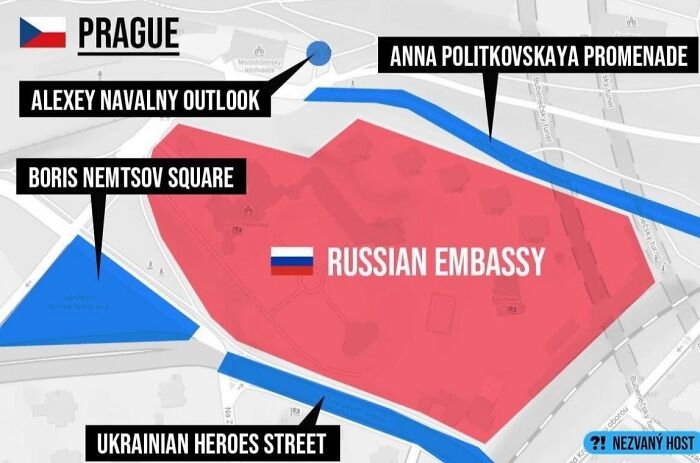 Image source: TerribleMaps
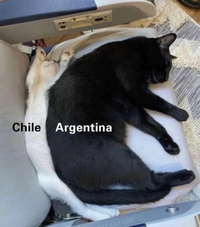 Image source: TerribleMaps
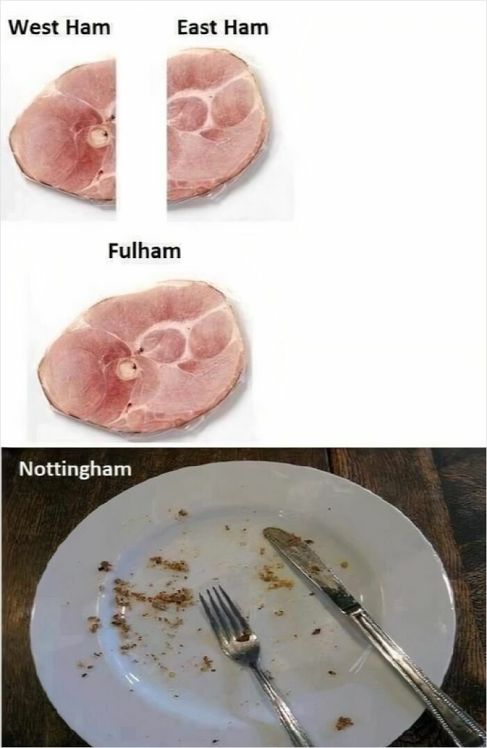 Image source: Terrible Maps
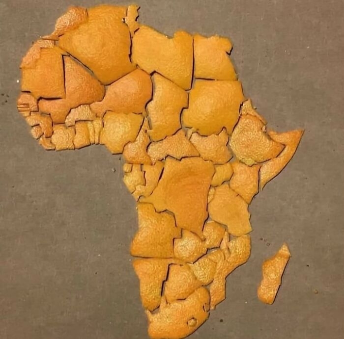 Image source: TerribleMaps
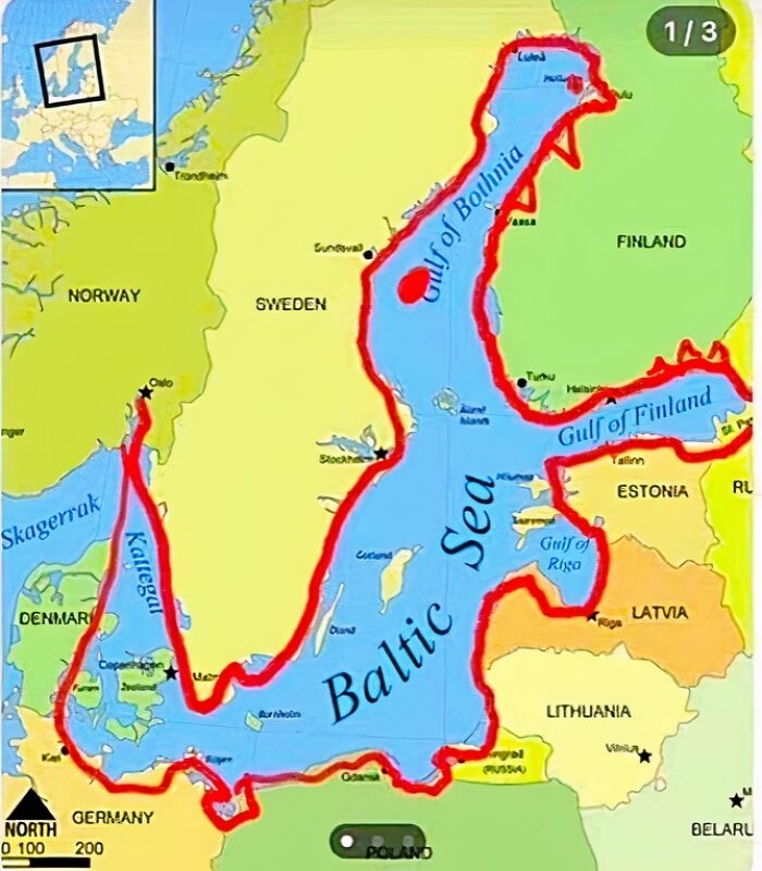 Image source: TerribleMaps
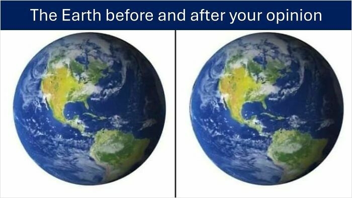 Image source: Terrible Maps
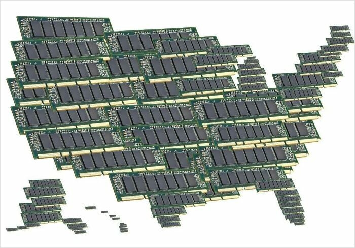 Image source: TerribleMaps
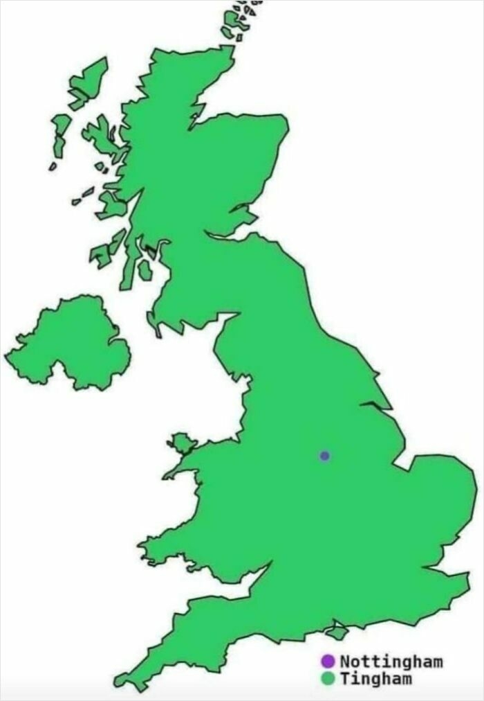 Image source: TerribleMaps
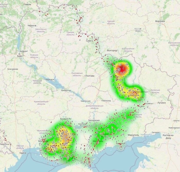 Image source: TerribleMaps
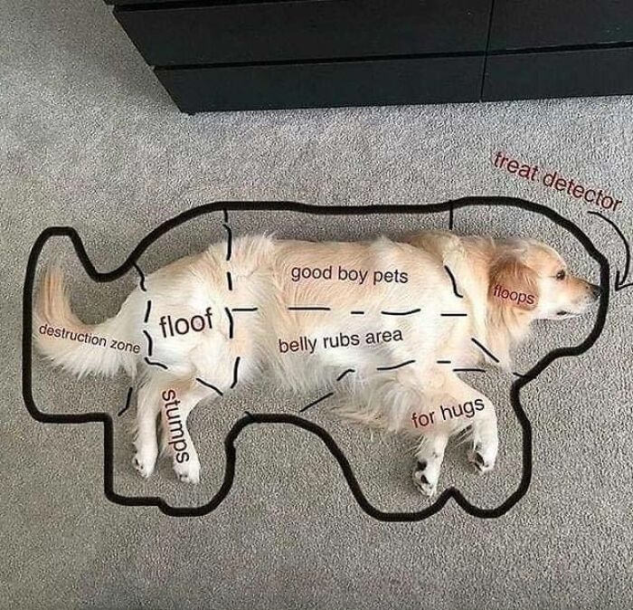 Image source: TerribleMaps
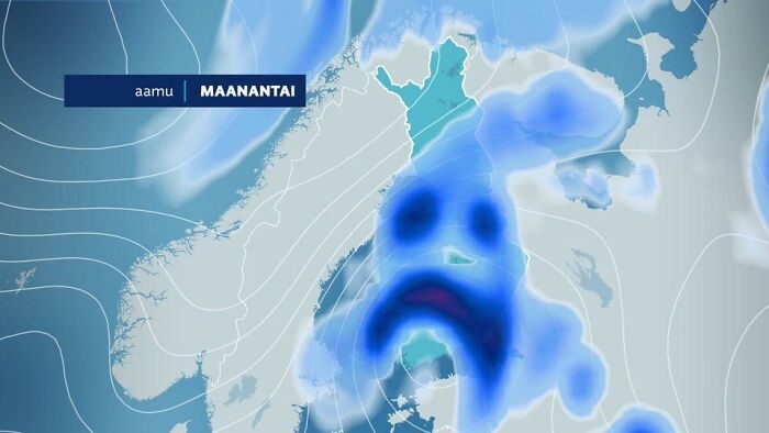 Image source: TerribleMaps
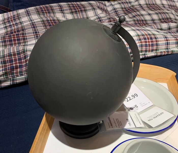 Image source: Terrible Maps
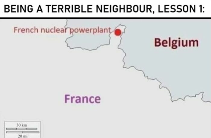 Image source: TerribleMaps
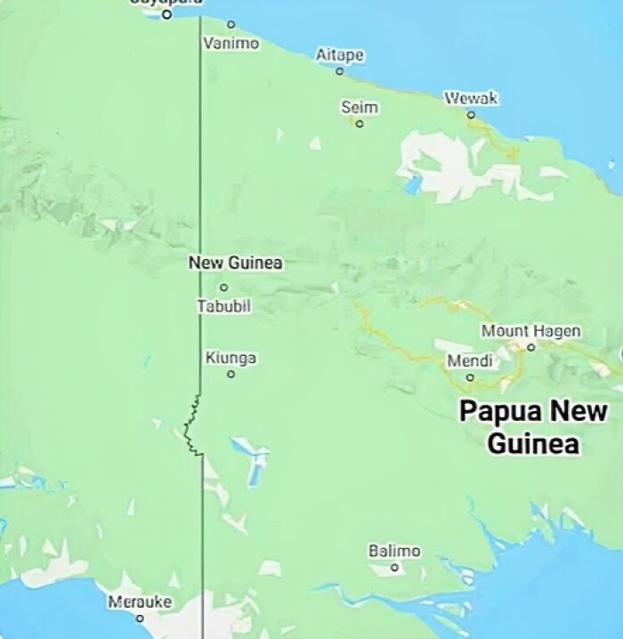 Image source: TerribleMaps
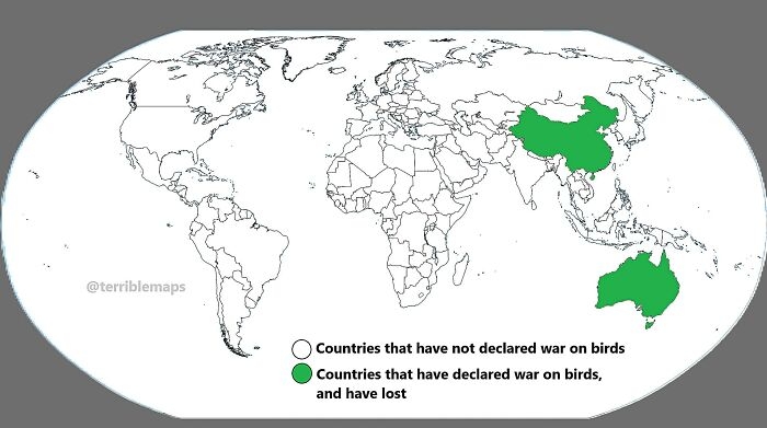 Image source: TerribleMaps
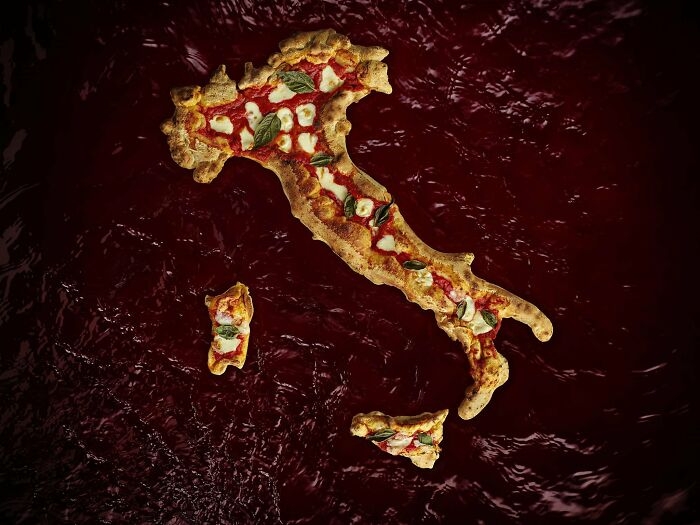 Image source: Terrible Maps
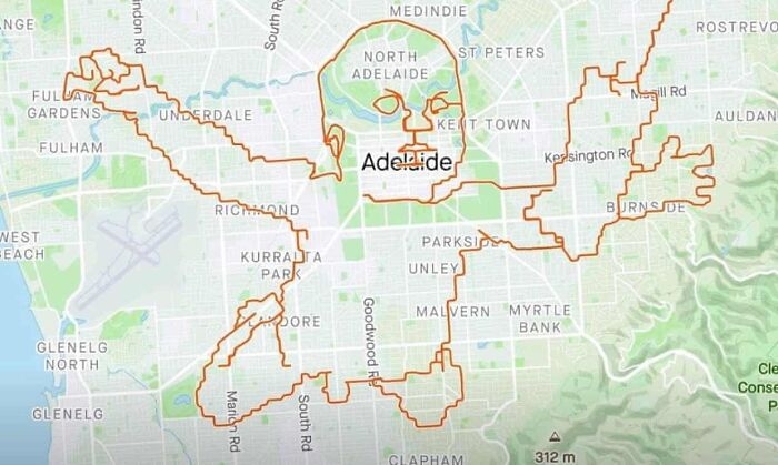 Image source: TerribleMaps
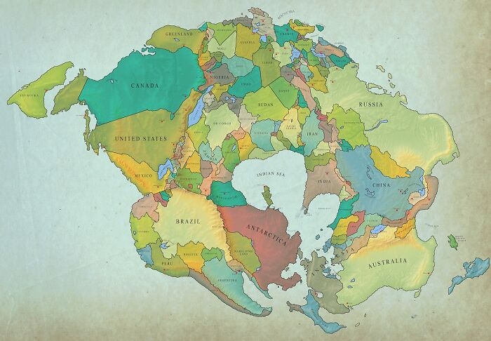 Image source: TerribleMaps
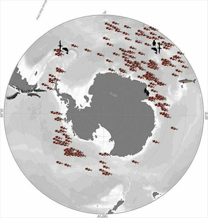 Image source: TerribleMaps
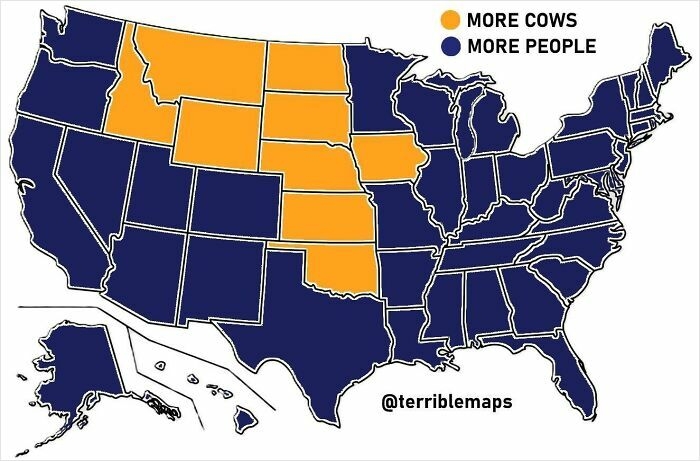 Image source: TerribleMaps
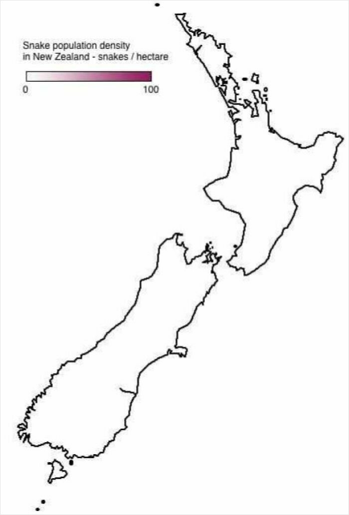 Image source: TerribleMaps
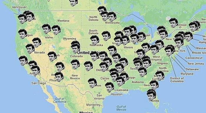 Image source: TerribleMaps
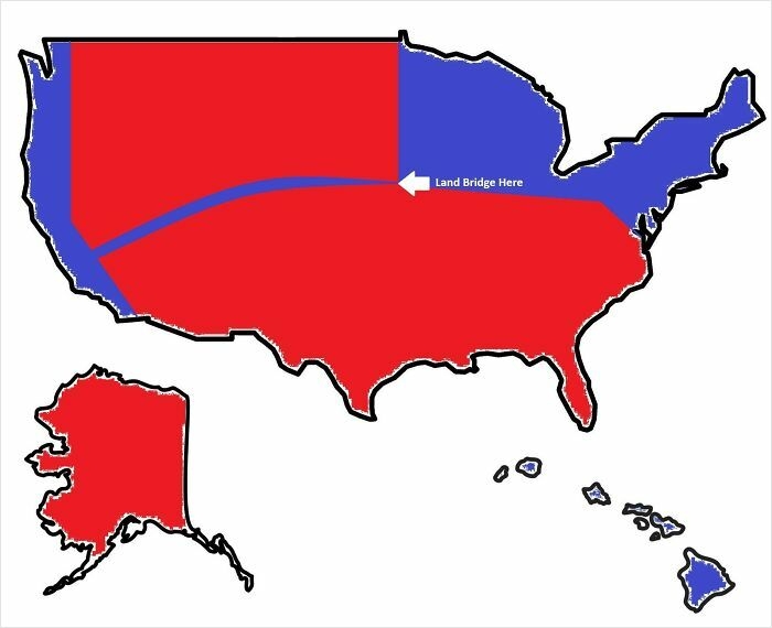 Image source: TerribleMaps
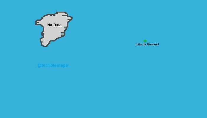 Image source: TerribleMaps
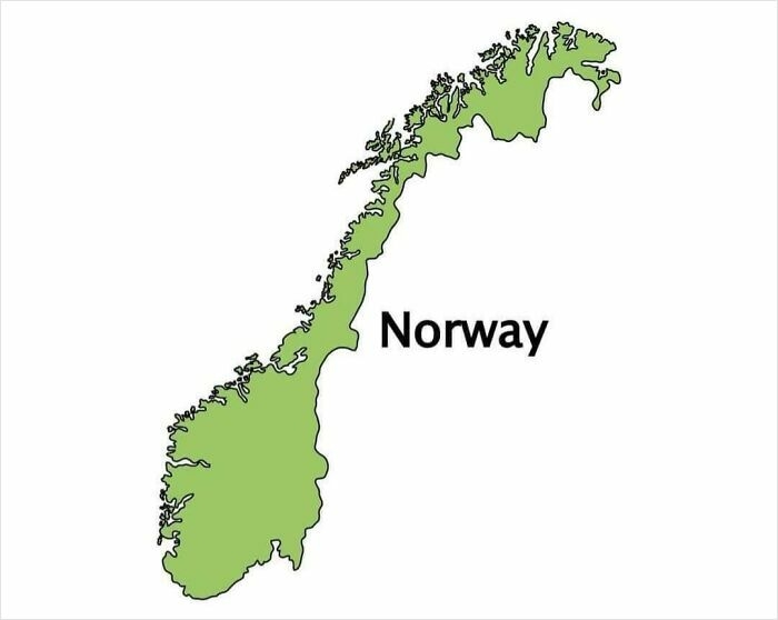 Image source: Terrible Maps
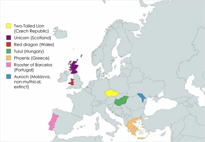 Image source: TerribleMaps
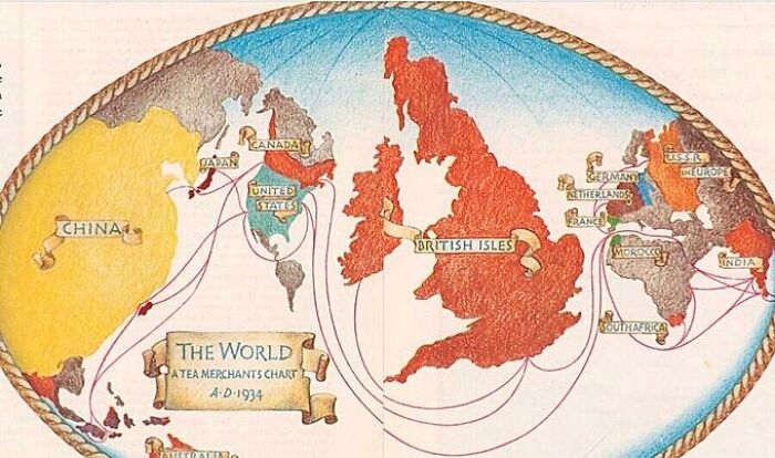 Image source: TerribleMaps
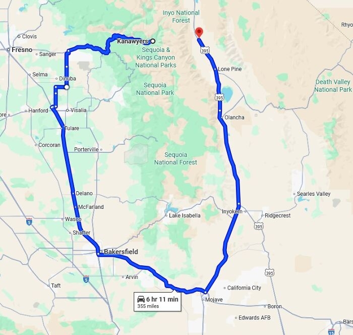 Image source: TerribleMaps
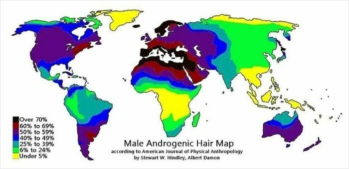 Image source: TerribleMaps
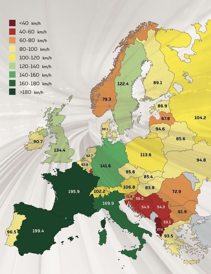 Image source: TerribleMaps
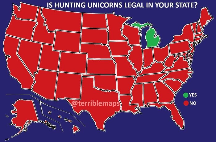 Image source: TerribleMaps
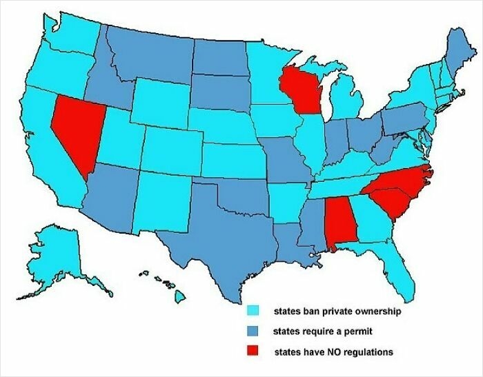 Image source: TerribleMaps
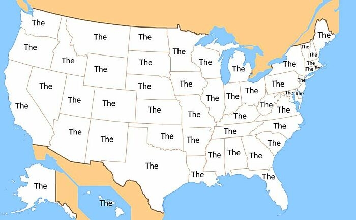 Image source: TerribleMaps
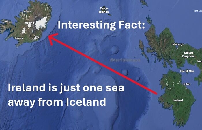 Image source: TerribleMaps
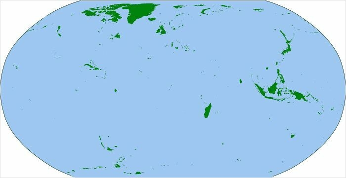 Image source: TerribleMaps
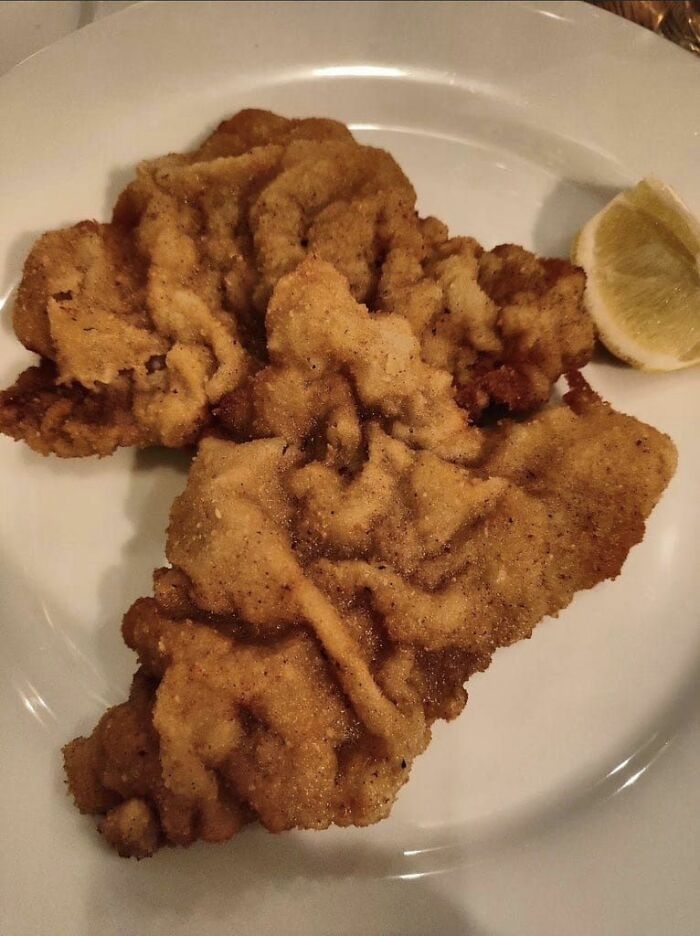 Image source: Terrible Maps
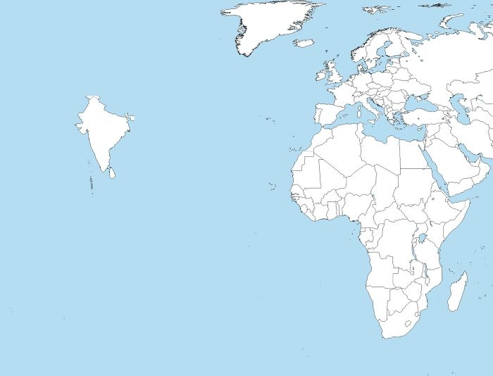 Image source: TerribleMaps
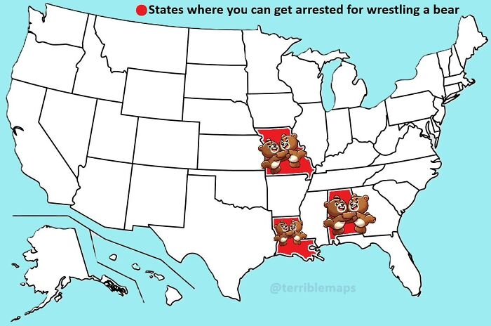 Image source: TerribleMaps
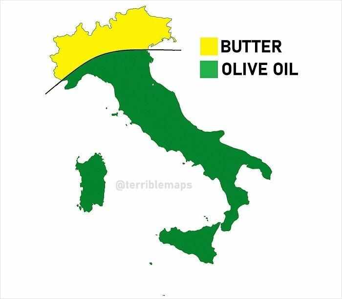 Image source: TerribleMaps
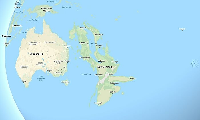 Image source: TerribleMaps
#1 No One Trolls With Street Names Quite Like Prague
Image source: TerribleMaps
#2 The Purr-Fect Map
Image source: TerribleMaps
#3 Now It Makes Sense
Image source: Terrible Maps
#4 Map Of Africa Made From Orange Peel
Image source: TerribleMaps
#5 Fun Fact: The Baltic Sea Is A Crocodile Eating Finland
Image source: TerribleMaps
#6 The Earth Before And After Your Opinion
Image source: Terrible Maps
#7 The United States Drawn Entirely From Memory
Image source: TerribleMaps
#8 Map Of Tingham, UK
Image source: TerribleMaps
#9 When Mobile Connections To Russian Networks Revealed Troop Positions
Image source: TerribleMaps
#10 A Very Serious Dog Map
Image source: TerribleMaps
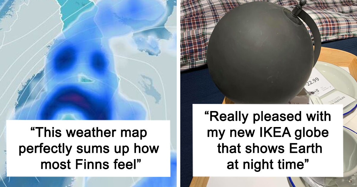
#11 This Weather Map Perfectly Sums Up How Most Finns Feel
Image source: TerribleMaps
#12 Really Pleased With My New IKEA Globe That Shows Earth At Night Time
Image source: Terrible Maps
#13 How To Be A Terrible Neighbour
Image source: TerribleMaps
#14 When You Try To Draw A Straight Line With A Ruler But Your Finger Has Other Pla
Image source: TerribleMaps
#15 Countries That Declared War On Birds… And Lost
Image source: TerribleMaps
#16 A Pizza Map Of Italy
Image source: Terrible Maps
#17 Cyclist Recreates Nirvana’s Iconic Nevermind Album Cover
Image source: TerribleMaps
#18 What Earth Will Look Like In 250 Million Years, With Today’s Borders
Image source: TerribleMaps
#19 Colossal Squid Sightings Around The World
Image source: TerribleMaps
#20 U.S. States With More Cows Than People
Image source: TerribleMaps
#21 New Zealand’s Snake Population Density
Image source: TerribleMaps
#22 Where Johnny Cash Claims To Have Traveled In “I’ve Been Everywhere”
Image source: TerribleMaps
#23 A Proposed Two-State Solution
Image source: TerribleMaps
#24 The World After An 8,800m Sea Rise
Image source: TerribleMaps
#25 Australians When Surprised
Image source: Terrible Maps
#26 Countries In Europe Whose National Animals Are Extinct Or Mythical
Image source: TerribleMaps
#27 When You Set Out To Map The World But Remember You’re A Chap From 1930s Britain
Image source: TerribleMaps
#28 Kanawyers And Independence Are 20 Miles Apart, But The Road Trip Takes 300 Miles And Six Hours
Image source: TerribleMaps
#29 Map Showing Which Countries Are The Hairiest
Image source: TerribleMaps
#30 Average Sneeze Speed Across Europe
Image source: TerribleMaps
#31 Can You Legally Hunt Unicorns In Your State?
Image source: TerribleMaps
#32 Tiger Ownership Legality By U.S. State
Image source: TerribleMaps
#33 The Most Commonly Used Word In Each State’s Wikipedia Page
Image source: TerribleMaps
#34 Did You Know?
Image source: TerribleMaps
#35 The Earth, But Just Islands
Image source: TerribleMaps
#36 A Topographic Map Of Africa
Image source: Terrible Maps
#37 How European Explorers Saw America In 1492
Image source: TerribleMaps
#38 States Where You Can Get Arrested For Wrestling A Bear
Image source: TerribleMaps
#39 The Great Italian Divide
Image source: TerribleMaps
#40 This Map Shows How Zealandia Might Look Today If It Had Stayed Above Sea Level
Image source: TerribleMapsDE
Written by
Demilked Editorial
SaaS Review Specialist · Demilked
With 5+ years in the creator, entertainment, and publishing spaces, Demilked shortlists, reviews, and ranks leading tools that actually make your life easier.